Laser Scanning

Laser Scanning has seen vast improvements over the years and is now considered one of the best and most efficient ways of data recording. The point cloud obtained through the laser scan maybe introduced into CAD programs, through which pipe routing and clash detection studies may be conducted.

PES provide full site surveys and measurements, including FARO laser scanning of on site facilities, to aid in the production of quality deliverables.

To find out more please Contact Us

Point Cloud and Virtual Tour Capabilities

Point Cloud Data viewed in FARO scene, allows virtual tours of the scan site / facility to be completed from the comfort and safety of offices. The scan data as shown is a photorealistic, colour point cloud and can be freely interrogated 


- Viewed in FARO Scene WebShare.


Point Clouds and CAD

Point Cloud Data viewed in Autodesk Recap, this allows unified scan data to be divided into smaller, manageable areas and allows the removal of unwanted volumes of scan data


- Viewed in Recap


Centerline of Pipe Extractions

Intelligent Plant 3D Model of Existing Pipework can be created by extracting centrelines from the point cloud and overlaying 3D elements over the point cloud data 


- Viewed in Navisworks, showing the Plant 3D Model and point cloud data


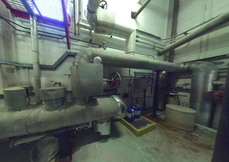
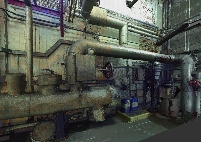
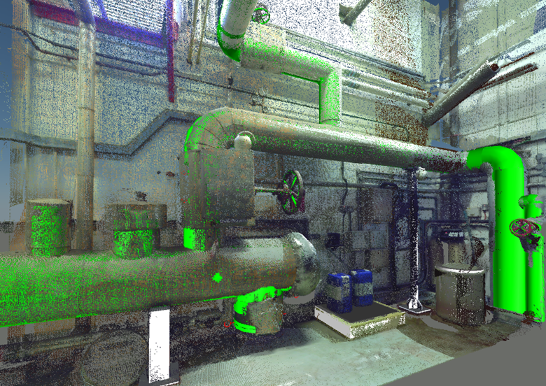
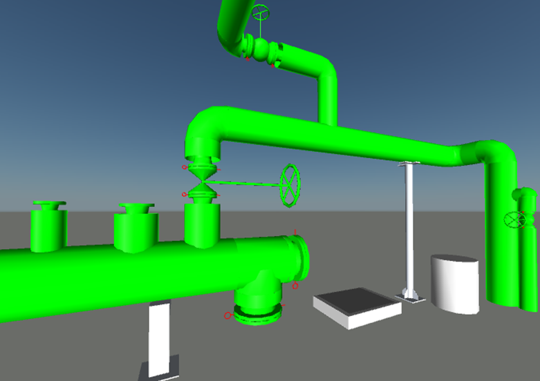
Intelligient Plant 3D Models

Intelligent Plant 3D Model of Existing Pipework can be used to create deliverables such as isometrics, general arrangement drawings, bills of material, cut-lengths, weld reports and centre of gravity reports


- Viewed in Navisworks, showing the Plant 3D Model